|
 After
a couple of days of riding without gear, we were ready to add
our light loads and head out for the Dolomites. Dominique and
Cristine had all their gear in Topeak seatpost mounted bags,
affectionately nicknamed "fatsos". We each had extra
cycling shorts, a jersey, arm and leg warmers, jacket, gloves,
street clothes, shoes and toiletries. But we kept it pretty light.
John and I have toured in the mountains with too much weight before
and it's definitely more fun with a lighter load. After years
of doing this, we seem to have found a formula that works, so
we have exactly what we need, nothing excess, nothing missing. After
a couple of days of riding without gear, we were ready to add
our light loads and head out for the Dolomites. Dominique and
Cristine had all their gear in Topeak seatpost mounted bags,
affectionately nicknamed "fatsos". We each had extra
cycling shorts, a jersey, arm and leg warmers, jacket, gloves,
street clothes, shoes and toiletries. But we kept it pretty light.
John and I have toured in the mountains with too much weight before
and it's definitely more fun with a lighter load. After years
of doing this, we seem to have found a formula that works, so
we have exactly what we need, nothing excess, nothing missing.
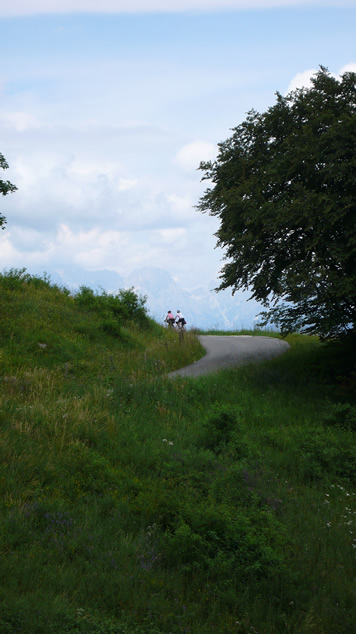
John and I had stayed up too late mapping out the first day's
route. We wanted to aim toward the Passo Manghen, the climb we
missed on the Gran Fondo Campagnolo many years ago. This meant
heading up the Brenta River and over the Col de Perer toward Stringno.
We used a combination of ridewithgps.com when we had internet
access and garmin mapping software on the mac when we did not.
Each had advantages and disadvantages. Ridewithgps gives a nice
route profile, so we could tell how much climbing we would have,
but the google maps it uses for Europe seem to have lots of trails
masquerading as roads and it could be hard at times to pick out
the actual roads versus hiking trails. We still had paper maps
and knew there was only one road across, but google maps seemingly
showed dozens. Also we wouldn't always have internet access, so
having the garmin software on the mac was important. Also its
maps tended not to have trails. Prior to the trip, we had not
had good luck using this software. Sometimes the downloaded routes
wouldn't work. Fortunately I discovered the issue. Sometimes via
points would be labeled with Chinese characters. When this happened,
the route wouldn't load properly. Simply changing those names
of via points made everything work! This made life much easier.
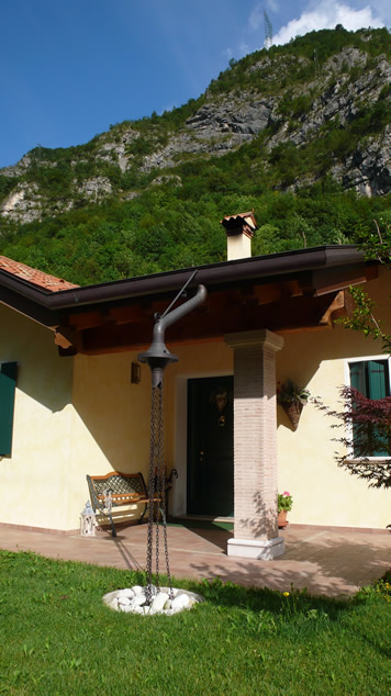
As we were heading up the Brenta River, we noticed this house
with the very nice rain chain. We had to get a shot, so we can
get our contractor to build us a gutter extension like this for
our own rain chain.
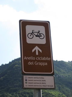
One of the things that made figuring out the route
the night before was trying to remember how to get to Arsie without
getting on major roads and how to best cross the river. There
is a path around Monte Grappa, that was sign-posted years ago.
Sadly many of those sign posts are now missing and we couldn't
find any information on line about the route. We did spot a sign
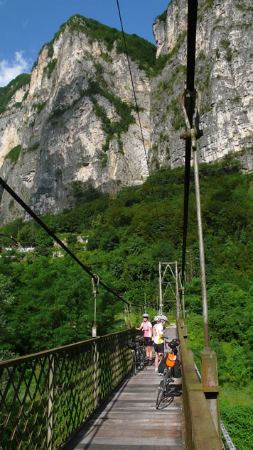
going across the swinging footbridge below Cismon del Grappa,
and we remembered taking this bridge on our first trip years ago
so we decided to risk following the sign there.
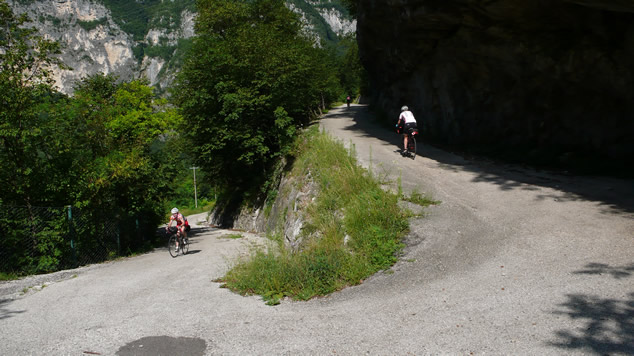
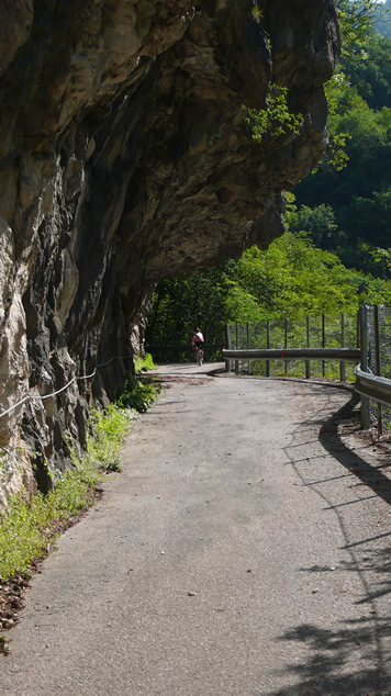
We had also remembered that the route goes up a
tiny closed road. When we tried to map it, the route profile showed
a sheer cliff, so we just weren't confident we had picked the
right road, or if we had selected a hiking trail. Fortunately
it was just a map anomaly, and no ropes were required to winch
us up a sheer cliff face.


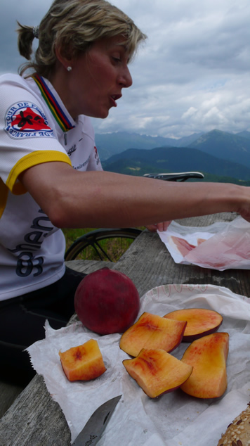
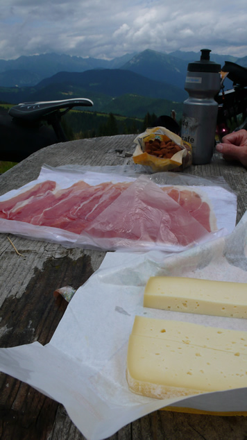
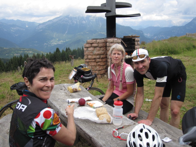
We stopped in Arsie for coffee and to buy supplies
for lunch, which we enjoyed near the top of the Col de Perer at
a lovely picnic spot.

John and Domi headed off to the tourist office
and booked a hotel on top of a monster climb. No more letting
them go to the tourist office unaccompanied.


Map
|